About 24 Hours from Landfall
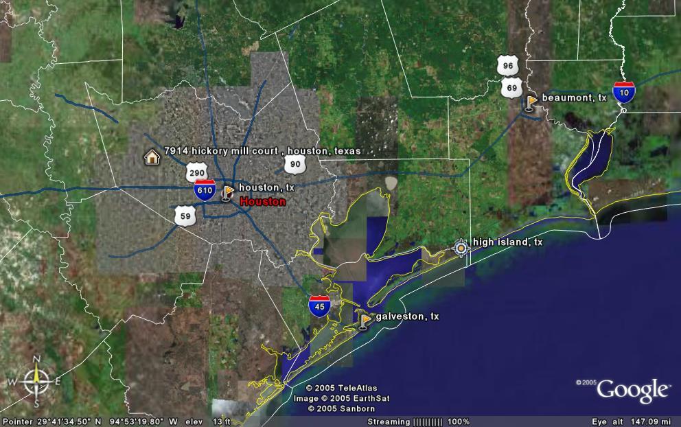 The image above was created using Google Earth to show where we are with respect to all the places being discussed concerning Rita's landfall. Right now, landfall is slated for High Island, which is 80 miles from our home. Earlier this morning, Beaumont was the projected landfall, so Rita is jogging back and forth as she gets closer to shore. The core of Rita, representing hurricane force winds (> 75 mph or 120 kmph), is 75 miles in radius at this time. We may experience these winds, but will at least get tropical storm force winds (> 40 mph or 64 kmph).
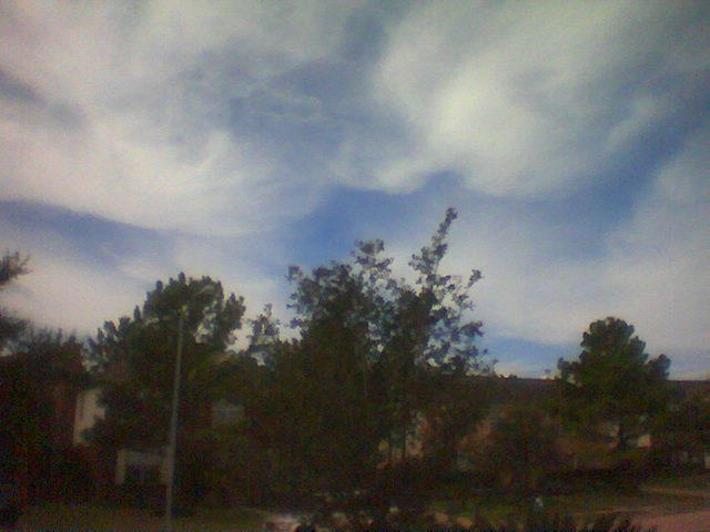 Looking out my front door to the NW as the clouds continue to become more dense.
posted by Anonymous at 1:00 PM
![]()

0 Comments:
Post a Comment
<< Home